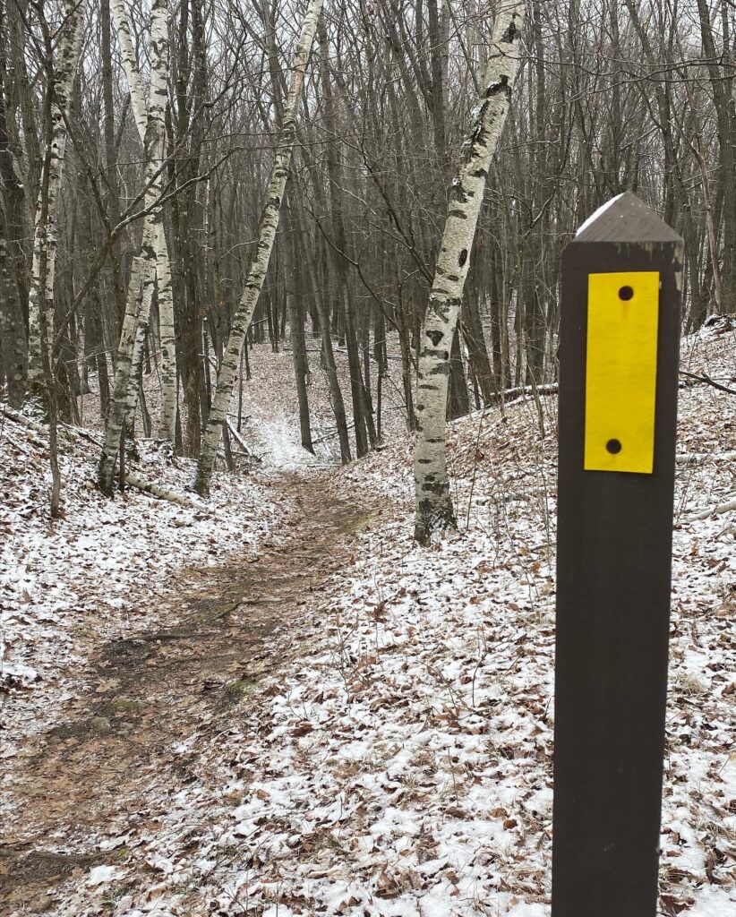
The course is run mainly on the Ice Age Trail. The exceptions are for a very limited amount of time on both the north and south out and backs and during road crossings.
GPX file: Onedrive download link

About the Ice Age Trail
More than 12,000 years ago, an immense flow of glacial ice sculpted a landscape of remarkable beauty across Wisconsin. As the glacier retreated, it left behind a variety of unique landscape features. These glacial remnants are now considered among the world’s finest examples of how continental glaciation sculpts our planet.
The Ice Age National Scenic Trail is a thousand-mile footpath that highlights these landscape features as it travels through some of the state’s most beautiful natural areas. The Trail is entirely within Wisconsin and is one of only eleven National Scenic Trails.
But the Ice Age Trail is more than a path through the woods. It is a place for mental and physical rejuvenation, a place to unwind after a hard day and enjoy the landscape of Wisconsin. More than 2.3 million people use the Ice Age Trail each year to hike and snowshoe, to backpack, to disconnect and reconnect.
Behind the scenes, a vibrant community of volunteers across the state work to build and maintain the Trail, making it one of the country’s best hiking experiences.
Ice Age Trail Facts:
- The Trail is managed by a partnership among the National Park Service, the Wisconsin Department of Natural Resources and the Ice Age Trail Alliance.
- The Ice Age Trail is open for hiking, backpacking and snowshoeing. Many segments support cross-country skiing, too.
- The Trail is not yet complete. More than 600 miles are yellow-blazed Ice Age Trail segments, and more than 500 miles of unmarked connecting routes link the blazed segments. The entire route is about 1,200 miles long.
- The Trail’s western terminus is in Interstate State Park in St. Croix Falls, Polk County. It overlooks the St. Croix River and our neighbors in Minnesota.
- The Trail’s eastern terminus is in Potawatomi State Park in Sturgeon Bay, Door County.
- The Ice Age Trail is built and maintained largely by volunteers. Please join us in caring for this remarkable treasure.
- Most of the blazed Ice Age Trail Segments fit hikers’ ideas of a traditional, off-road hiking experience. Some segments, however, lead hikers right down the main streets of Wisconsin communities. This is by design – the Ice Age Trail is meant to connect people and communities.
- Thirteen municipalities (with more joining each year) have chosen recognition as an Ice Age Trail Community, underscoring the Trail’s positive economic impact, locally. Together, the Ice Age Trail Alliance and Trail Communities promote the unique qualities that make the Trail, and the community it travels through, a meaningful destination.
- The Trail occasionally coincides with state bike trails – biking is allowed on these sections only. Horseback riding is not permitted. Motorized vehicles are not permitted (with the exception of just a few segments that share state multi-use trails).
- The Ice Age Trail began in the 1950s as the dream of Milwaukeean Ray Zillmer, who had a vision of a long, linear park winding through Wisconsin along the glacier’s terminal moraine.
- The Trail crosses over many ownership types, including private land, city parks, state parks, county forests and national forest.
- The Trail travels through 30 counties.
- One of the goals of the Ice Age Trail Alliance is to permanently protect the route of the Ice Age Trail. Every year, we purchase land with privately donated funds and grants from government partners to get closer to achieving this goal. The State of Wisconsin also acquires land for the Trail through its Knowles-Nelson Stewardship Program.
